
Aerial Photography & Video in Riverside
Real Estate Media for Riverside & the Inland Empire — Booked Online, Delivered Next Day
- Next-Day Delivery
- FAA Part 107 Certificated Drone Pilot
- Business & Drone Insured
- Simple Online Ordering
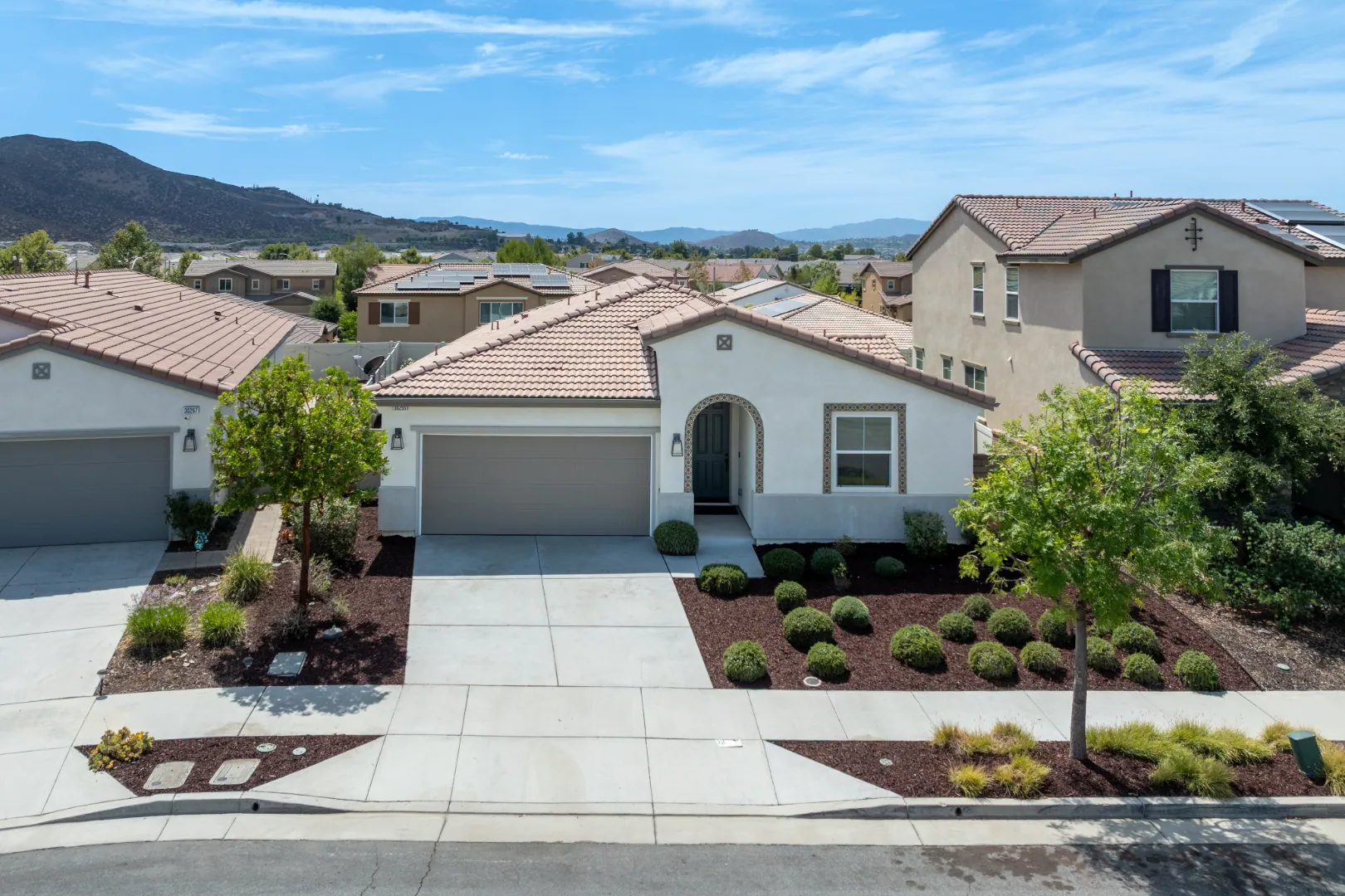
Real estate drone photography uses aerial still images to show a property's layout, land, surroundings, views, and features that may not be visible from ground level. In Riverside and across the Inland Empire, many listings sit on larger lots, hillside parcels, or land near open space where street-level photos don't tell the whole story. TinySeed Real Estate Media offers drone photography and drone video for these listings. They are two separate services, though both can often be captured during the same flight when both are booked. This page covers when still images work best, when motion footage does the job better, and how the two fit together on one listing.
Drone Photography Captures Riverside Listings From Above
Think about a listing with a big backyard, a pool, or a lot line that's hard to explain from the ground. That's the gap drone photography fills. It delivers still images shot from above the property, showing layout, acreage, and how the home sits relative to the land around it.
For Riverside listings, aerial stills often show:
- Full lot boundaries and how much usable land comes with the property
- Pool, patio, and yard layout that a ground shot can't frame
- Proximity to open space, hillside views, or neighboring parcels
A single aerial still can do more to sell scale than several ground photos combined. Drone photography is a separate service from drone video, though both can often be captured during the same flight when both are booked. All flights are performed by an FAA Part 107 Certificated Drone Pilot.
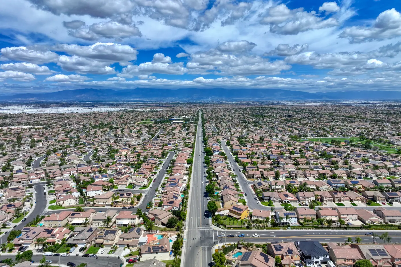
Drone Video Shows Riverside Properties in Motion
Where drone photography gives you a single frame, drone video gives you the whole approach. It can include flyovers, reveal shots, and walkthrough-style aerial reels for property websites and social media marketing.
Motion matters most when a still photo undersells the property. Larger lots and hillside homes in the Riverside area are a good example, since a flat image can flatten out terrain that adds real value. Video lets a viewer follow the slope of the land, see how far the property extends, and connect the house to its surroundings in a way a photo can't.
Situations where drone video tends to earn its place:
- Hillside or sloped lots where terrain is part of the story
- Larger properties where boundaries need context and movement to read clearly
- Listings marketed on property websites and social channels where motion content stands out
Drone video may be captured during the same flight as drone photography when both services are booked, so two separate sessions are often unnecessary.
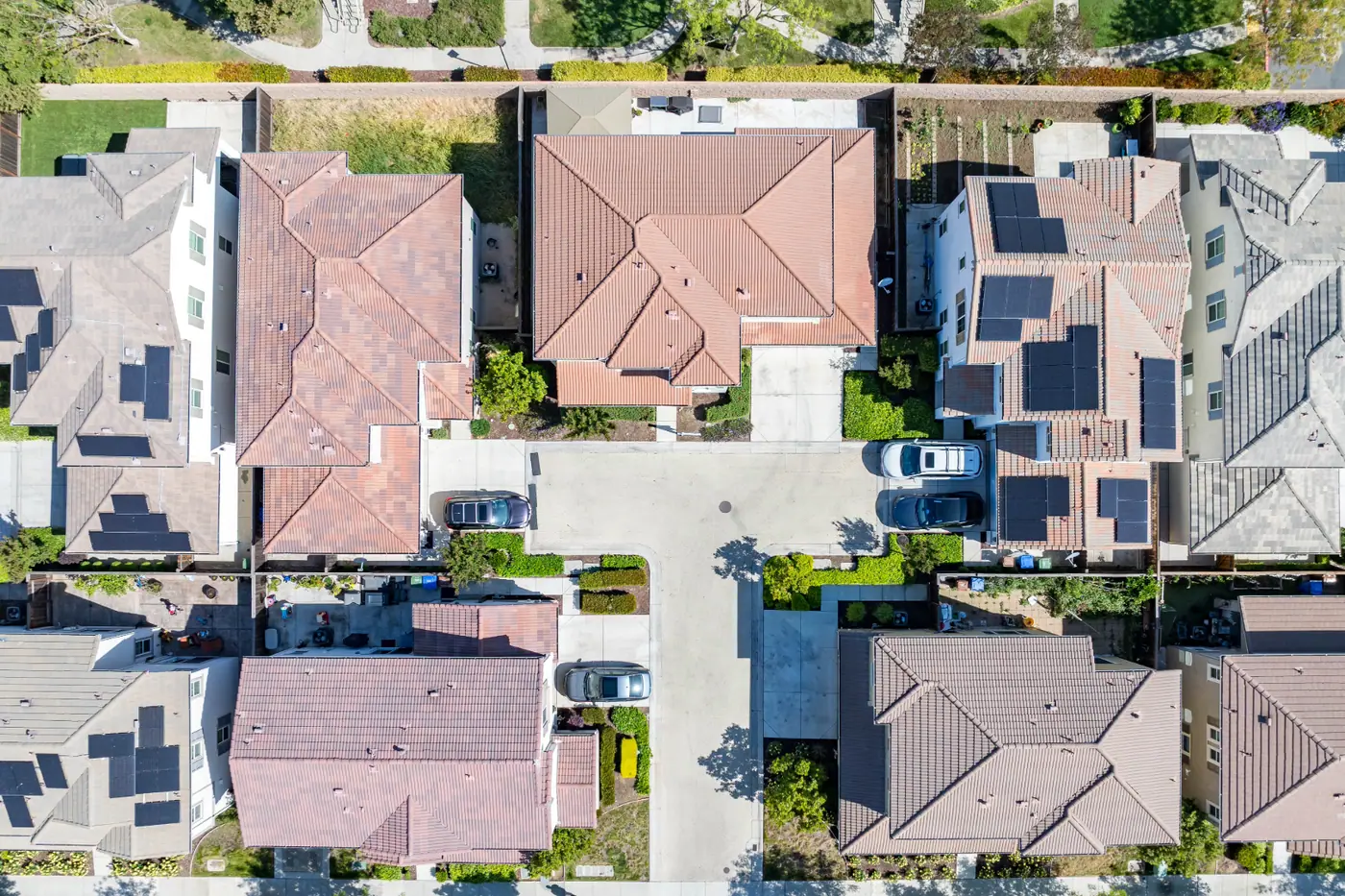
FAA Part 107 Certificated Drone Pilot, Business & Drone Insured
You're trusting someone to fly equipment over a client's property, so credentials matter. TinySeed's drone work is performed by an FAA Part 107 Certificated Drone Pilot and backed by business and drone insurance.
Service is available in Riverside and across the Inland Empire. Some properties may be affected by airspace or flight restrictions, so flight eligibility is confirmed during booking.
TinySeed also offers residential listing photography, video, twilight photography, 3D tours, floor plans, and virtual staging for Riverside and Inland Empire listings. These services can be booked alongside aerial photography and video when appropriate.
Explore real estate media services from TinySeed for Riverside and the Inland Empire.
Frequently Asked Questions
Can drone photos and drone video be captured during the same flight?
Yes, drone photos and drone video can often be captured during the same flight when both services are booked.
Who performs TinySeed's drone flights?
TinySeed's drone work is performed by an FAA Part 107 Certificated Drone Pilot.
When is drone video better than drone photography for a listing?
Drone photography provides still images, while drone video shows movement, scale, and surroundings over time. The better choice depends on how the property will be marketed. Many listings use stills for photo galleries and video for property websites and social media.
Ready to Get Started?
Book aerial photography or video for your next Riverside listing.